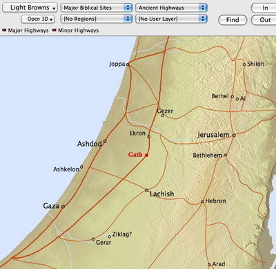
The Accordance Bible Atlas is not a series of static maps, but a completely interactive atlas which delivers the information you need in whatever form you require. If you look for a place name, it appears highlighted on the map regardless of whether that place name is included in any of the layers you currently have displayed. It’s simple, quick, and just works.
Many other programs simply offer their users a series of static maps to choose from. What do I mean by static maps? I mean that they are essentially images of pre-drawn maps. They may have a modicum of interactivity and customizability, but essentially, you’re limited to seeing the information the creator of the map decided to include. For example, you may have to access one map to see a certain collection of sites, and another to view Paul’s Missionary Journeys. If there’s no map which shows both, you simply can’t see that information together.
Programs that use static maps generally index the place names on each map so that you can search for them. Searching for a site then presents you with whatever maps happen to show that site. You can select from various maps, but the site name is generally not highlighted on any of them. You’re still left scanning the map you choose for the place name you’re looking for.
The Accordance Bible Atlas has been offering unparalleled access and interactivity since it was first released in 1998. After twelve years, it remains the best way to access information about Biblical geography.


